How Do Scientists Determine the Direction a Humpback Whale Is Swimming in Samaná Bay?
Samaná Bay in the Dominican Republic is an important seasonal destination for humpback whales. During the breeding season, these enormous marine mammals can be seen surfacing, diving, traveling through the water, and interacting with other whales. Observing their movements helps researchers understand how they use the bay and how their behavior changes under different conditions.
But how can scientists determine which direction a whale is swimming when they can see only part of its body above the water?
Researchers combine surface observations, repeated sightings, photographic records, and specialized tracking methods to estimate a whale’s direction of travel. Because whales regularly dive and disappear from view, scientists must distinguish between a confirmed movement and an educated estimate.
Why Is a Whale’s Swimming Direction Important?
Knowing which direction a humpback whale is traveling can help researchers understand its movement patterns. A whale may be moving across the bay, changing its position relative to other whales, or swimming toward an area it will use later.
Direction data can help scientists investigate several questions:
- Do whales tend to travel along particular routes within an observation area?
- Do individuals maintain a similar direction over several minutes?
- How often do whales change direction during social interactions?
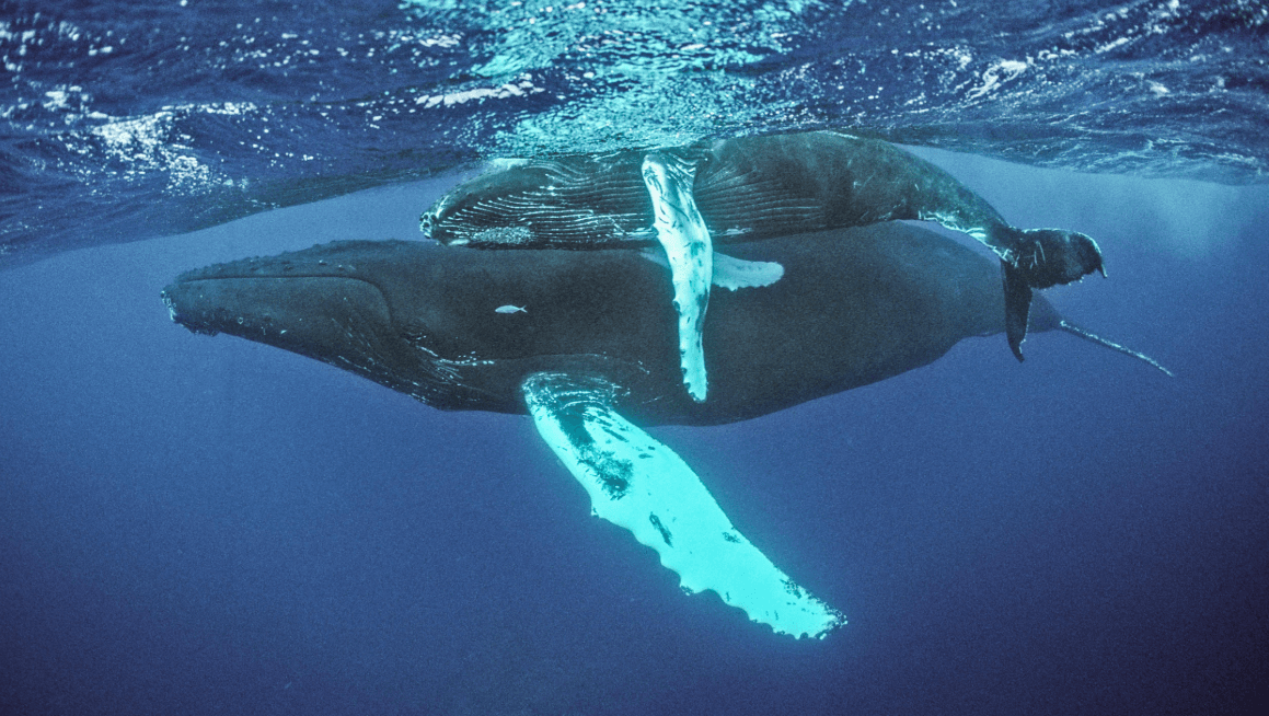
- Do mothers and calves move differently from other observed whales?
- How do vessel activity, sea conditions, or nearby whales relate to observed movement?
A single observation cannot answer every question. Scientists usually need repeated observations and enough context to interpret what the whale is doing.
1. Observing the Whale’s Position at the Surface
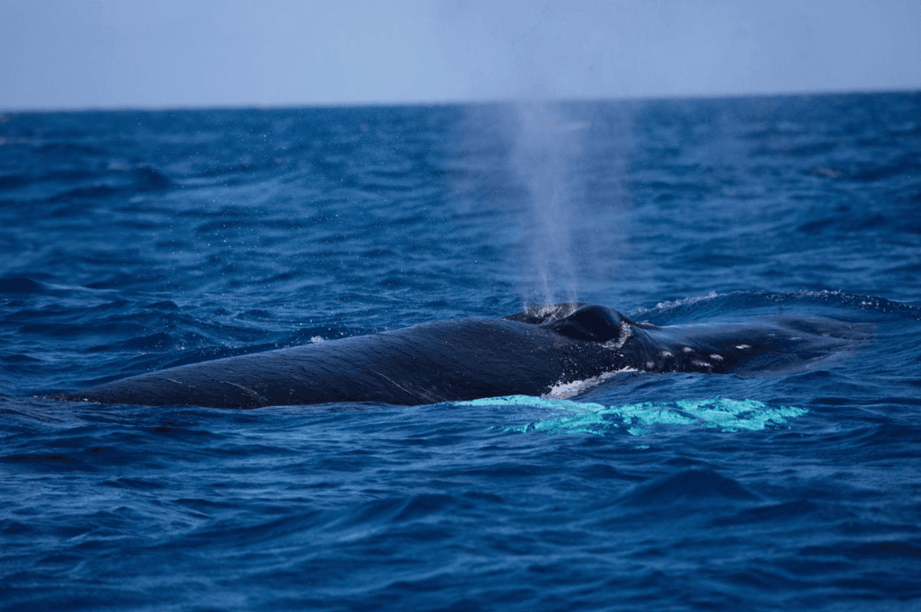
One of the simplest methods is to observe where the whale appears at the surface and how its position changes over time.
Researchers may record the whale’s approximate location, the time of each sighting, and the direction in which its body is oriented. If the whale surfaces again farther east, for example, the observations may indicate eastward movement.
However, one sighting alone does not establish a direction of travel. A whale’s head may point one way while the animal is turning, rolling, or preparing to dive. Scientists therefore look for evidence across multiple observations.
2. Comparing Successive Locations
Repeated location records can provide stronger evidence of movement.
Suppose researchers observe a whale at one position and later record it at another. If the two positions are reliable and the whale’s identity is reasonably certain, the difference between those locations can indicate its general direction of travel.
The process involves:
- Recording the time and position of the first observation.
- Recording a later position for the same whale.
- Comparing the two locations.
- Calculating the approximate direction of displacement.
- Considering uncertainty caused by observation gaps, waves, and possible identification errors.
This method estimates the direction of movement between observations. It does not necessarily reveal every turn the whale made in between.
3. Using the Whale’s Body Orientation
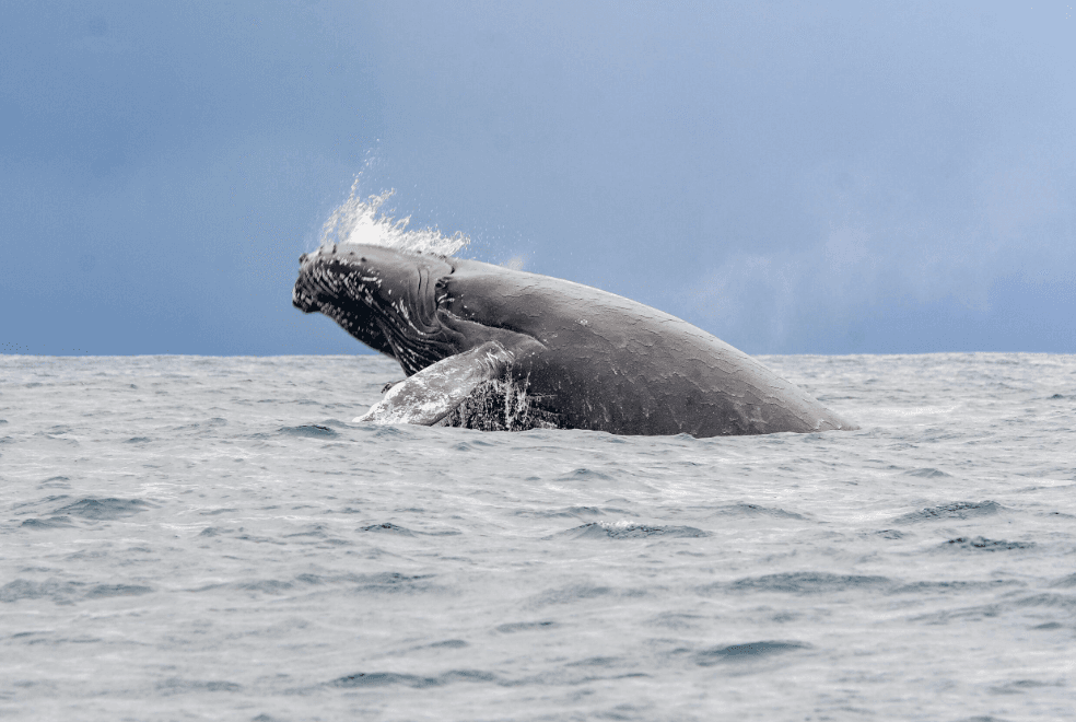
The direction a whale’s head points can provide a useful clue when enough of its body is visible.
Observers may note whether the whale appears to be facing toward open water, parallel to a shoreline, or across a particular section of the bay. They may also observe changes in body orientation as the whale turns.
Nevertheless, body orientation and actual travel direction are not always the same. A whale can turn its head or body without moving far, and currents can affect its movement relative to the water.
For reliable research, scientists treat orientation as one piece of evidence rather than definitive proof of a sustained route.
4. Recording the Timing of Surface Appearances
Humpback whales spend time underwater between breaths. When they disappear beneath the surface, observers temporarily lose direct visual contact.
Researchers can record when and where the whale was last seen, how long it remained out of sight, and where it surfaced again. The new location may help indicate its direction during the dive, particularly when the whale can be confidently identified.
There is an important limitation: if a whale remains underwater for a long period, its precise path may be unknown. It could have traveled in a straight line, followed a curved route, or changed direction several times.
Scientists account for this uncertainty instead of assuming the whale followed the shortest route between two sightings.
5. Using Photographs and Video
Photographs and video can help researchers review observations more carefully.
Images may show the whale’s body orientation, the position of its head and dorsal ridge, and its relationship to nearby surface features. Video can also reveal changes in orientation over a sequence of moments.
When images include reliable timestamps and useful location information, researchers may be able to compare observations from different points in time.
Photographs alone cannot always determine the whale’s exact path. A still image captures only one moment, and similar-looking whales can sometimes be difficult to distinguish. Researchers must evaluate the quality of the evidence before drawing conclusions.
6. Applying GPS and Other Tracking Technologies
Some whale research projects use tracking technologies to obtain more detailed movement data. Depending on the study, researchers may use GPS-equipped observation platforms, vessel-based positioning systems, or suitable animal-tracking devices deployed under approved research protocols.
These tools can help researchers establish where observations occurred and compare locations over time.
It is important to distinguish between tracking the research boat and tracking the whale itself. A GPS receiver aboard a boat records the boat’s position; it does not automatically reveal the whale’s exact location. Researchers need additional observations or an appropriate whale-tracking method to connect the two.
The equipment and techniques used depend on the research question, project permissions, and animal-welfare considerations. Not every whale observed in Samaná Bay is fitted with a tracking device.
7. Accounting for Ocean Currents and Sea Conditions
A whale’s movement through the water can be affected by currents. Wind, waves, and limited visibility can also make observations more difficult.
Scientists distinguish between movement relative to the seabed and movement relative to the surrounding water whenever the available data permit. These measurements can differ because currents carry water—and objects within it—along with them.
For example, a whale may be swimming in one direction while a current pushes it partly sideways. An observer who considers only the whale’s apparent position may misinterpret the path.
Researchers therefore consider local conditions and the limitations of their instruments when analyzing movement.
8. Distinguishing a Straight Path From a Change of Direction
Whales do not always maintain one direction for long. They may turn while approaching another whale, changing their position within a group, or moving during a dive.
Scientists can compare several observations to determine whether the whale appears to be maintaining a general heading or changing direction repeatedly.
A small change in observed position does not automatically mean the whale made a sharp turn. Measurement error, a long gap between sightings, and uncertainty about the whale’s identity can produce misleading patterns.
The most reliable interpretation comes from a sequence of observations that is sufficiently detailed to support the conclusion.
9. How Whale-Watching Observations Can Help
Responsible whale-watching observations can help visitors appreciate how scientists study marine animals. A guide may point out the direction in which a whale appears to be moving, explain why it may surface in a different location, or describe how the animal’s behavior changes.
However, casual observations are not equivalent to a scientific tracking study. Visitors generally do not have the continuous position records, identification checks, or calibrated instruments needed to reconstruct a whale’s full route.
Tour operators and researchers should also follow applicable wildlife-viewing rules and maintain appropriate distances. Chasing or approaching whales to obtain a better view can disturb the animals and compromise safe observation.
10. What Can Scientists Conclude From Direction Data?
When the evidence is strong, researchers can estimate a whale’s general direction between recorded positions and compare its movements across different observation periods.
These data may help reveal broad travel patterns, changes in movement, and possible relationships between whale behavior and environmental conditions.
However, scientists must be clear about what the data cannot show. Two locations do not reveal every turn taken between them. A visible head direction does not guarantee the animal will continue along that heading. A whale that disappears underwater may reappear somewhere unexpected.
Good scientific reporting explains these limitations and avoids presenting an estimate as an exact measurement.
Frequently Asked Questions
Can scientists tell exactly where a humpback whale is going?
Not always. Scientists can estimate its current direction or reconstruct part of its route when reliable location data are available. Predicting its final destination is much more difficult because whales can change direction or behavior.
Can a whale’s head tell observers which way it is swimming?
Its head orientation provides a clue, especially when the body is clearly visible. However, the whale may be turning or changing its position, so researchers consider additional observations before confirming its movement direction.
How do scientists track a whale when it dives?
They may record the last known position and time, then compare these with the next confirmed sighting. Depending on the project, researchers may also use appropriate tracking technologies. Without continuous data, the underwater route can remain uncertain.
Do ocean currents affect a whale’s direction?
Currents can influence the whale’s movement relative to the seabed. Scientists consider current conditions when interpreting movement records, particularly when distinguishing the whale’s own swimming from its overall displacement.
Are whales in Samaná Bay tracked with GPS?
GPS can record the positions of research vessels and observation platforms, while specialized animal-tracking methods may be used in particular studies. It should not be assumed that every humpback whale in Samaná Bay carries a tracking device.
Can tourists help determine whale swimming direction?
Visitors can observe and report general behavior, but accurate scientific estimates usually require reliable timestamps, position records, and careful identification. Visitors should follow guide instructions and avoid actions that disturb whales.
Conclusion
Scientists determine humpback whale swimming direction in Samaná Bay by combining observations of body orientation, repeated surface sightings, location records, photographs, and, where appropriate, tracking technologies.
The key is to compare reliable evidence over time. A single appearance offers a snapshot, while repeated observations can reveal a broader pattern of movement. By accounting for underwater gaps, ocean currents, and measurement uncertainty, researchers can develop a more accurate understanding of how humpback whales move through this important Caribbean habitat.
For whale watchers, these methods offer another reason to appreciate each sighting: even a brief appearance can contribute to a better understanding of whale behavior when it is observed carefully and responsibly.

Local explorer & expert guide in Samaná Whale Sanctuary.